Loading…

Randsburg, California
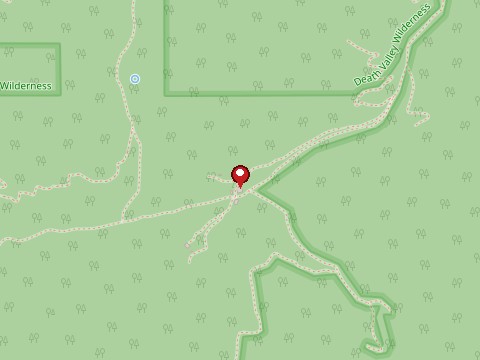
Map: © OpenStreetMap contributors — approximate location, not a photo of the site
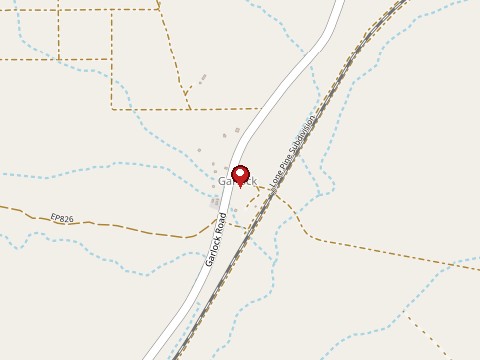
Garlock sprang up in the 1890s after a stamp mill was hauled in to serve nearby gold mines and also supplied water to freighters and cattlemen. A pipeline and the 1898 railroad to Randsburg drew business away, and little remains beyond scattered buildings and mine sites at what is now California Historical Landmark 671. Ownership and access were not confirmed.
Little is standing and some sites may be private or unstable; check with Kern County or BLM before going.
Tap a star to rate. No ratings yet
Randsburg, California
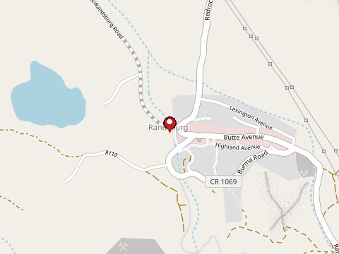
Randsburg grew from the 1895 gold strike in the Rand Mountains and was named for the Witwatersrand district of South Africa; by 1900 it had…
Lancaster, California
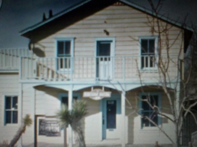
Visitors and staff at the Western Hotel Museum report footsteps crossing the wooden floors of both storeys, a scratchy record playing with…
Trona, California
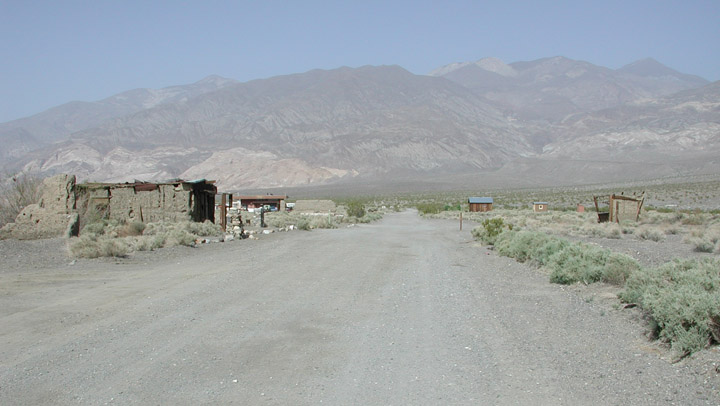
Ballarat was founded in 1896 or 1897 as a supply town for the gold mines of the Panamint Range, and was named by an Australian settler for…
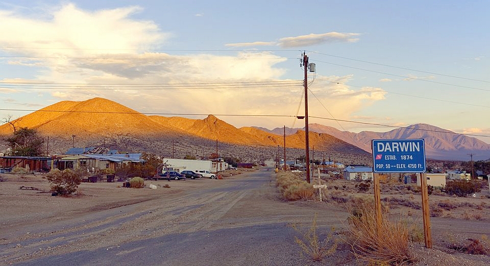
Darwin, California
Darwin grew after silver and lead strikes in the Coso Range in 1874, with smelters, mines and hundreds of residents, and it stayed active…
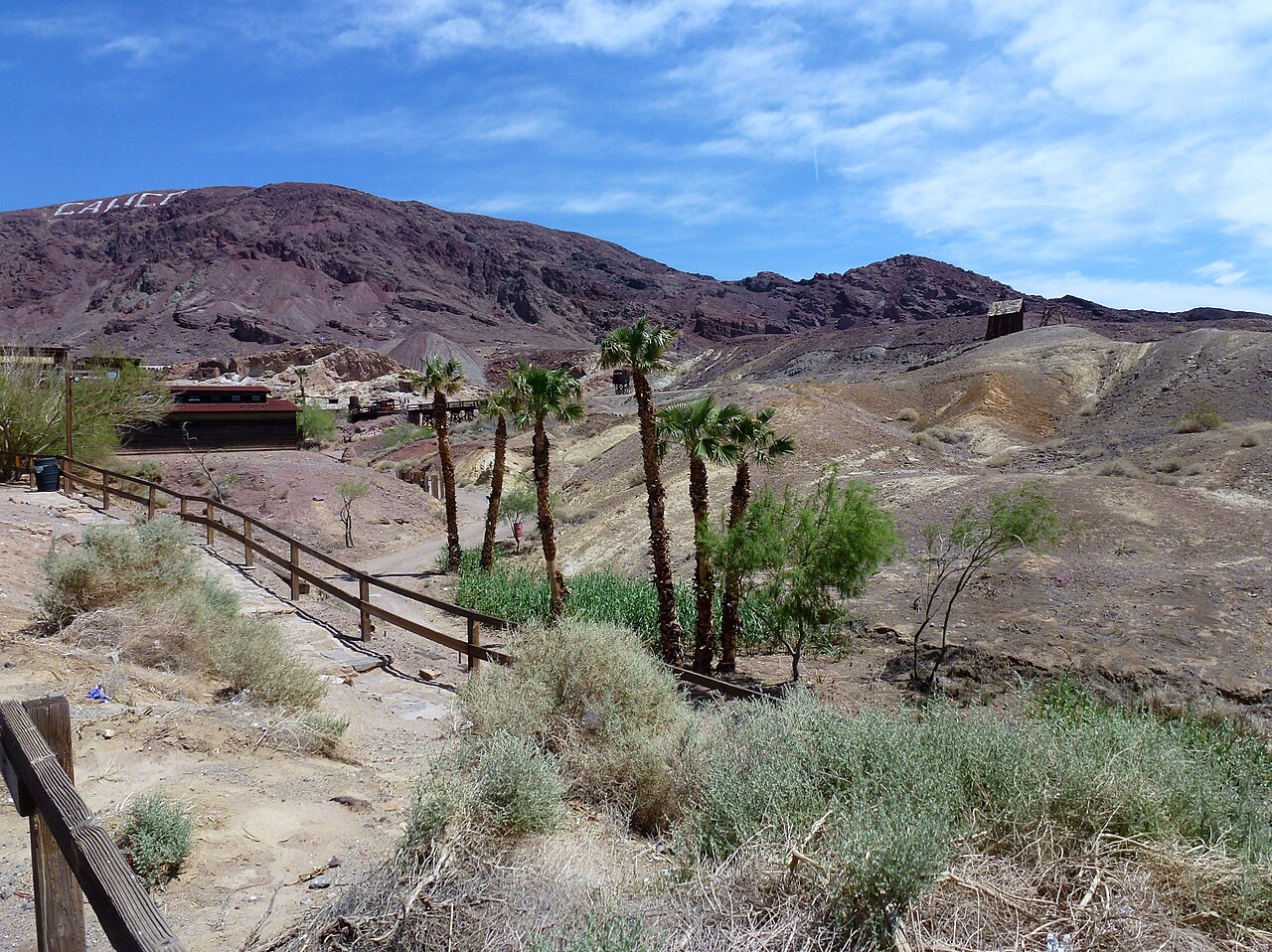
Yermo, California
Calico was a silver-mining boomtown in the 1880s; Walter Knott restored it and donated it to San Bernardino County, which runs it as a…
Ridgecrest, California
Panamint City was a rowdy silver camp of about 2,000 people after the 1873 strike, with Death Valley's first newspaper, until a 1876 flash…
Sign in to leave a comment.