Loading…

Gilroy, California
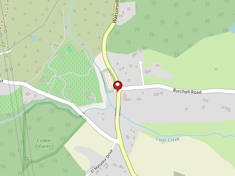
Map: OpenStreetMap contributors
Chitactac-Adams Heritage County Park preserves the site of Chitactac, a Mutsun Ohlone village whose name is thought to mean "big dance place," inhabited for an estimated 3,000 years before its people were taken to the Santa Cruz and San Juan Bautista missions by 1800. The park's rock outcrops still hold real petroglyphs and bedrock mortars the Ohlone used to grind acorns — tangible evidence of daily life here, not a mystery. A schoolhouse later stood on part of the property (the last one burned down in 1956) before the land became a Santa Clara County park. Local legend holds that the site's parking lot sits atop an Indigenous burial ground, with drivers reporting their car's air conditioning switching on by itself at night.
A Santa Clara County heritage park open to the public, with the petroglyphs and bedrock mortars on its grounds; check Santa Clara County Parks for current hours and rules, and treat the site with respect as a place that matters to the Ohlone people.
Tap a star to rate. No ratings yet
Gilroy, California
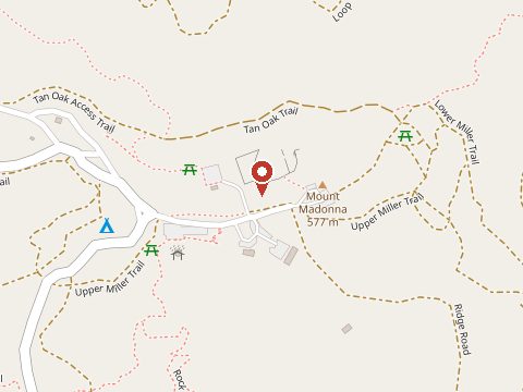
A girl in a long white dress is said to ride a horse through the fog over the hills of Mount Madonna and vanish, and visitors have…
Salinas, California
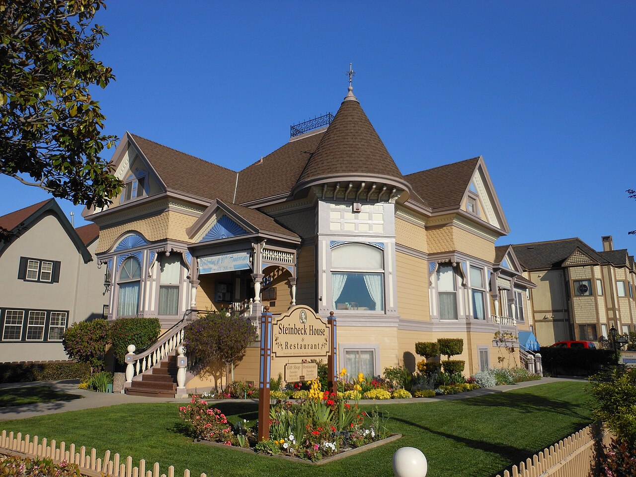
The 1897 Victorian where John Steinbeck was born is now a lunch restaurant run by volunteers. Steinbeck is said to have written to a friend…
San Jose, California
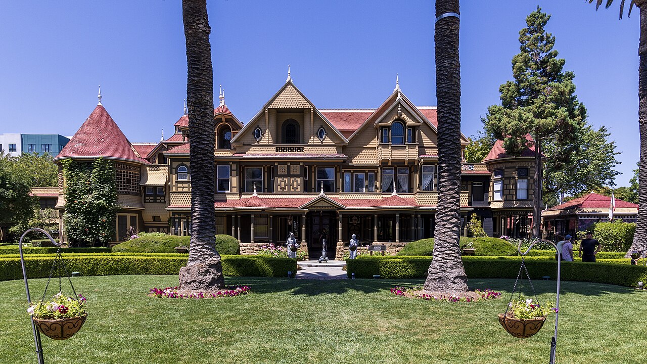
Sarah Winchester came to the Santa Clara Valley in 1886 after losing her infant daughter, Annie, and then her husband, William Wirt…
Sign in to leave a comment.